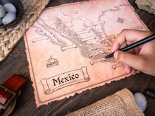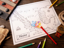
Turn geography into an epic quest! Your kids will explore the wonders of Mexico. Its wild rainforests, dramatic volcanoes, and mysterious ancient cities like Calakmul and Tenochtitlan with hand-illustrated maps they can color, label, and make their own. These maps transform learning into a fun, hands-on adventure, sparking imagination and a deeper love for Mexico’s rich culture. Featuring three unique versions, this set sparks curiosity and cultivates a lasting love for Mexico’s vibrant culture and history.
As a homeschool parent who has always loved geography, history, and art, I was consistently disappointed by the maps in the curricula we used to teach our kids. Fortunately, one blessing of homeschooling is that I could do something about it. My kids enjoyed it so much, and I saw a new spark for learning ignite in them, that I decided to create this product to share with you. I pray it does the same for you and your family.
- Josh Stolarz
Here’s What You Will Get
-
3x High Resolution PDF Maps - Print Size 8.5x11” - Actual Size 17x22” 300dpi
-
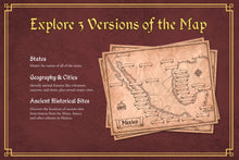
States Map - Blank & Answer Versions
-
Geographic Features & Cities Map - Blank & Answer Versions
-
Ancient Historical Sites Map - Blank & Answer Versions
-
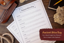
Ancient Historical Sites Descriptions to Inspire Further Learning
-
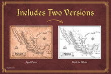
Aged Paper & Black and White Versions of All Maps
-
Illustrated by Josh Stolarz
-
This Product is a PDF Download
File Download Size: 258 MB


